Năng suất
FlyPix AI
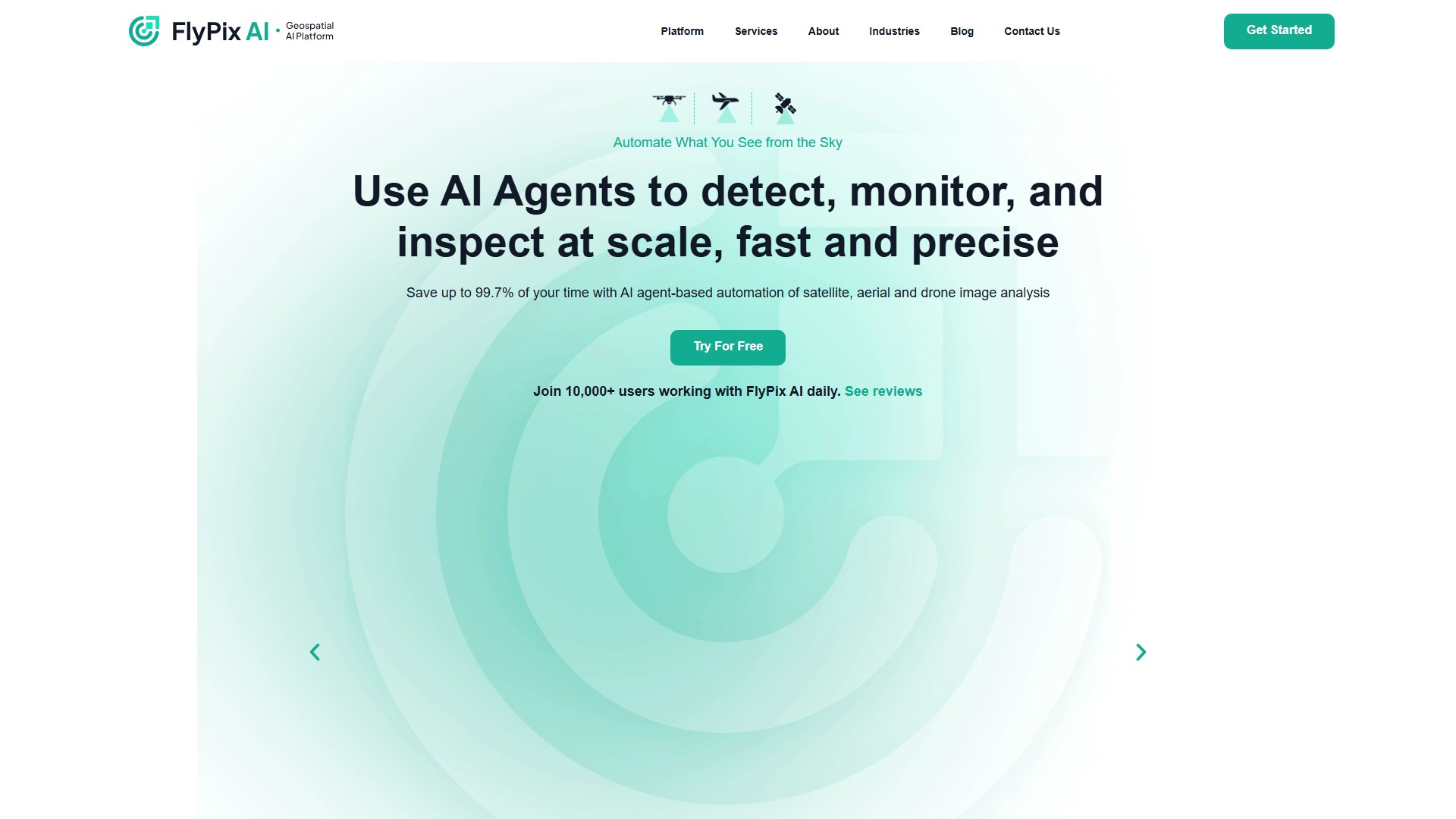
FlyPix AI là nền tảng giải pháp địa không gian dùng tác nhân AI để tự động phát hiện, giám sát và kiểm tra hình ảnh vệ tinh, trên không và drone.
Giới thiệu về công cụ này
Tính năng chính
- Tự động phát hiện, giám sát và kiểm tra hình ảnh địa không gian bằng tác nhân AI.
- Huấn luyện mô hình AI tùy chỉnh mà không cần biết lập trình hoặc có chuyên môn AI sâu.
- Hỗ trợ chú thích do người dùng định nghĩa để phát hiện mọi vật thể nhìn thấy trong ảnh.
- Cung cấp bảng điều khiển Analytics cùng khả năng dự đoán và phát hiện của mô hình AI.
Đối tượng và lợi ích
Phù hợp với cơ quan chính phủ, xây dựng, năng lượng tái tạo, nông nghiệp, quản lý rủi ro, dầu khí, lâm nghiệp và công nghệ sinh thái, cảng, khai khoáng và thành phố thông minh. Nền tảng cho biết có thể tiết kiệm 99,7% thời gian, giảm công việc chú thích thủ công từ hàng trăm giây xuống còn 3 giây bằng AI, không cần lập trình hay kiến thức AI chuyên sâu.
Giá và dữ liệu
- Basic (miễn phí): 3GB lưu trữ, 10 credit, hỗ trợ giới hạn.
- Starter (50 €/tháng): 10GB, 50 credit/tháng, xử lý 1 gigapixel.
- Standard (500 €/tháng): 120GB, 500+100 credit/tháng, xử lý 12 gigapixel.
- Professional (2.000 €/tháng): 600GB, 2000+1000 credit/tháng, xử lý 60 gigapixel, truy cập API và hỗ trợ chuyên gia.
Trường hợp sử dụng gồm tự động hóa xây dựng, giám sát cảng và nông nghiệp, bảo trì hạ tầng, bảo vệ môi trường, quản lý rừng, phân loại sử dụng đất và ứng dụng chính phủ. Hỗ trợ dữ liệu đa phổ cùng hình ảnh vệ tinh, trên không và drone.
Phân tích lưu lượng truy cập
Các chỉ số về lưu lượng truy cập, thứ hạng và mức độ tương tác của công cụ này.
Chưa có dữ liệu phân tích
Bản xem trước giao diện